|
|
 |

 Sep 16-18, 2011 Sep 16-18, 2011
Summiting Mt. Talinis with Cuernos de Negros
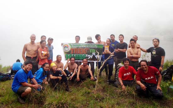
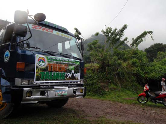
Event Name: Trek to Talinis 2011
Tagline: Terrestial Ecosystem Build Up: A Cleaner and Greener Tomorrow
Climb Level: Open Fun Climb
Route: Apolong Route traverse to Bediao Route
Duration: 3 days, 2 nights
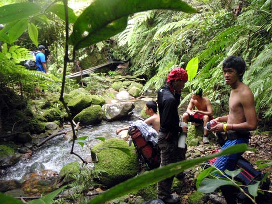
Water Sources: 3 - Casaroro Falls, Rancho Campsite and Lake Nailig
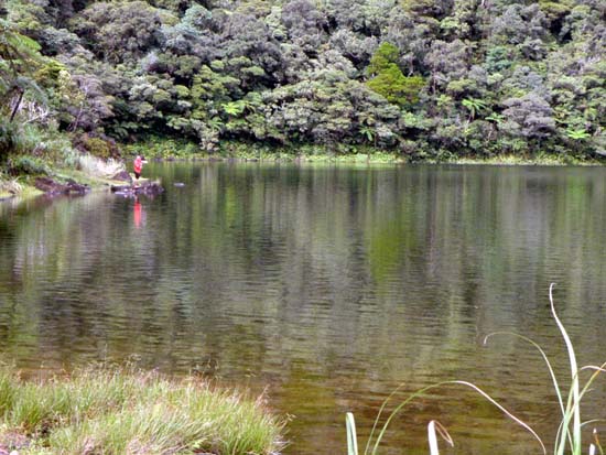
Attractions: Kaipuhan Sulphur Vents, Twin Falls, Lake Nailig, Lake Yagumyum, Summit
2nd Time Around
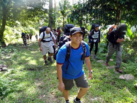
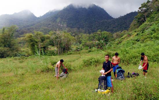
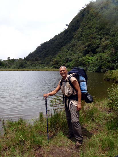
The Trek to Talinis is the 2nd of 2 annual fun climbs offered by Dumaguete's Cuernos de Negros to the mountaineering public. The first one is held in Feb, and it was also my first climb to Talinis. The route was the same as last year's. Now, I visit Mt. Talinis again, self-contained, a little apprehensive and more challenged on how I can measure up to the demand of this mountain that lords over the southern part of the Negros island.
Deja Vu Faces
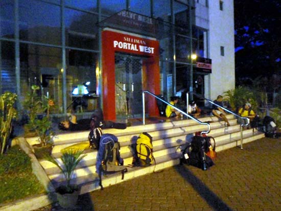
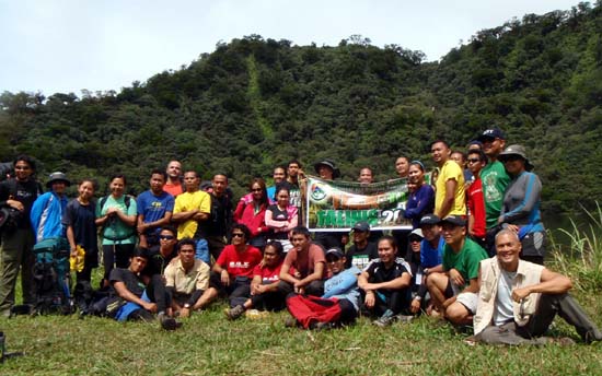
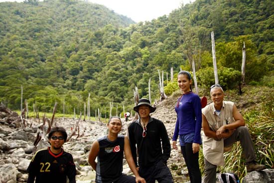
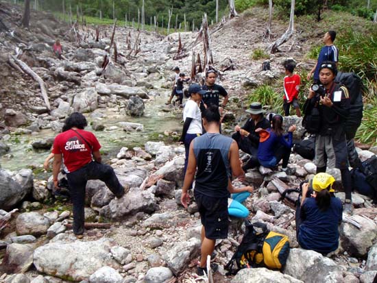
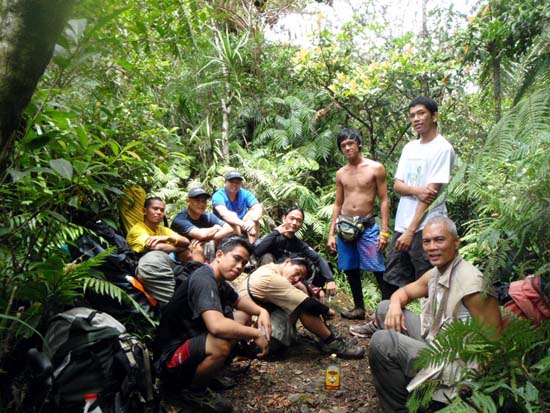
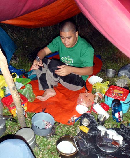
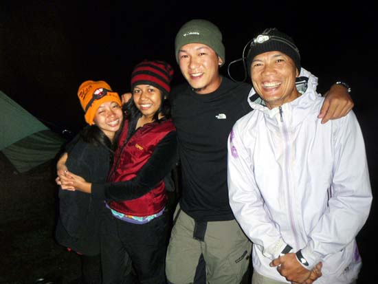
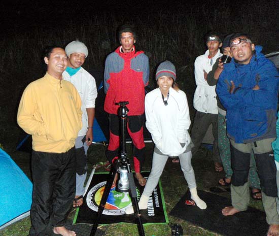
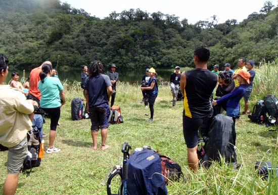
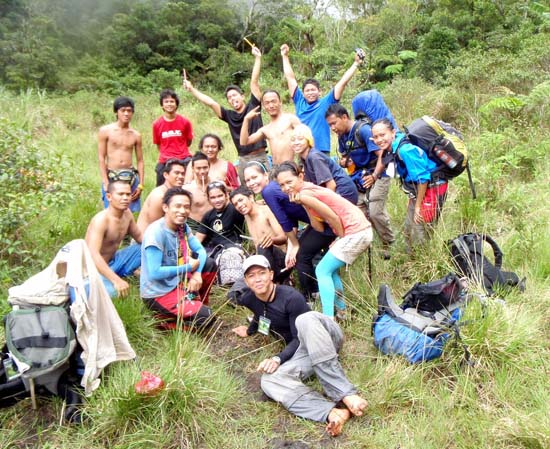
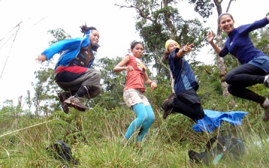
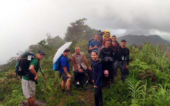
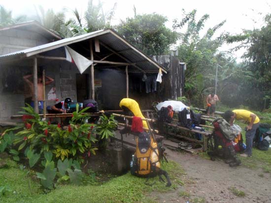
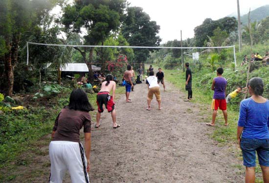
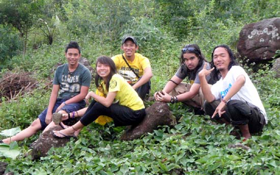
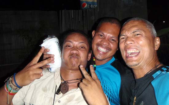
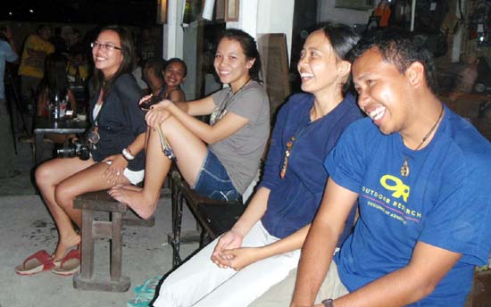
At the gathering point, I began to see familiar faces...mountaineers I climbed with during the first assault in Feb. They came as a group. Again, my coming alone made me free to roam within different groups...maybe get to know the culture a little better - share a rice bowl, sip from their cup of coffee, etc. It was all good.
Hiking Tracks from the previous climb (to be updated when GPS tracks are cleaned and optimized)
Highlights
Rancho to Lake Nailig
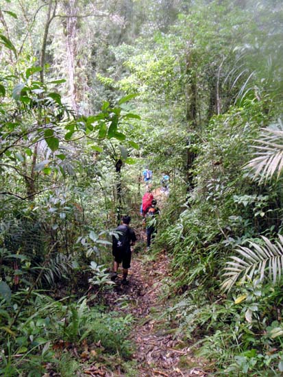
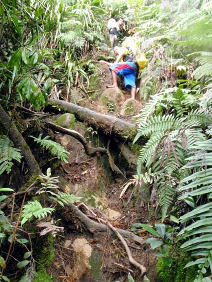
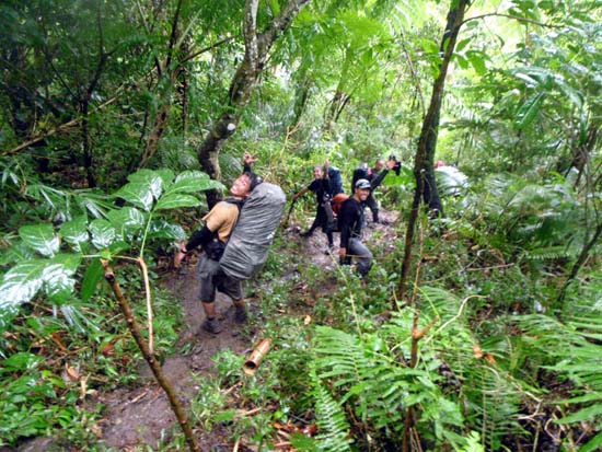
The Rancho - Lake Nailig section was unrelentingly steep with virtually no recovery until it plateaued. The steep incline was attrition that took its toll with every step. It was a punishing grind. There was a short section we'd go on 4-wheel drive (pusing with 2 legs and pulling with 2 arms) to make it up - something similar to a rock climb on a gym. Surprisingly, that was the part I loved the most. I would call it fun.
The Mud Skating Section
Just before we exit the trail system and into the open dirt road that would take us to the pick-up point, we had to negotiate a super slippery section that was basically a mud slide - nothing to hold on to and no indentation on the slope to press your foot against. Even my trekking pole was useless to ram against the mud. Fighting against it was futile. At some point, I just put my butt down and slid down - it was the safest, fastest and definitely, the dirtiest.
The Peak
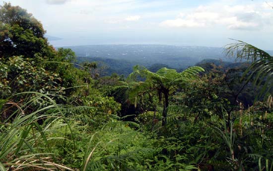
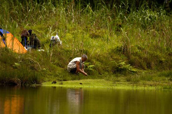
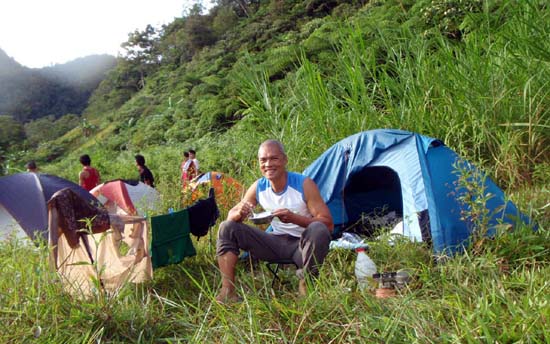
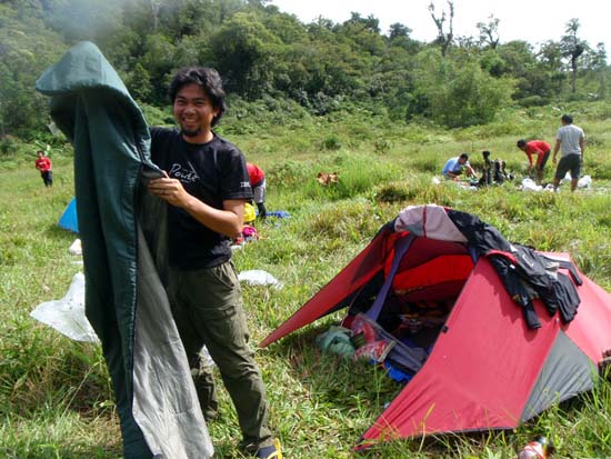
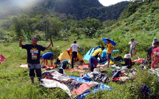
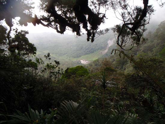
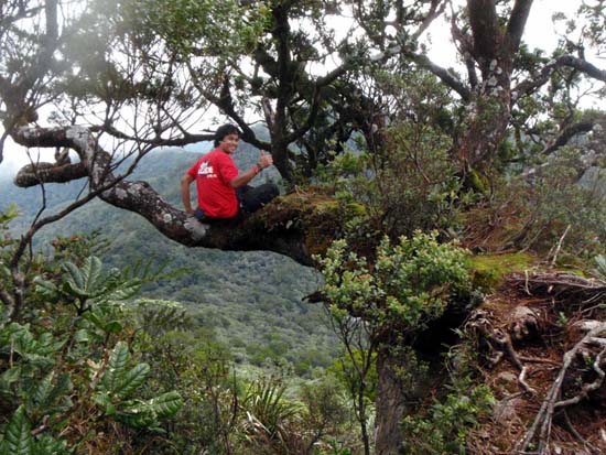
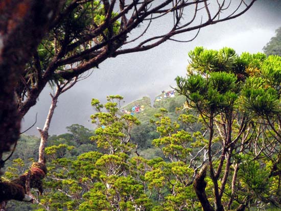
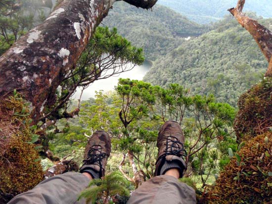
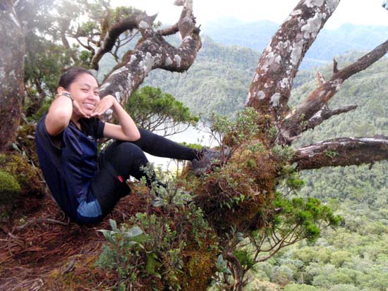
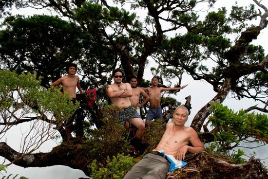
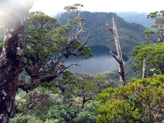
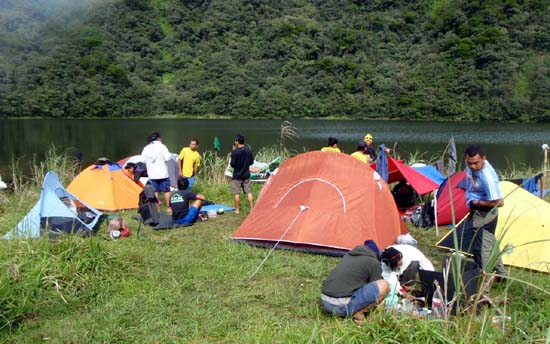
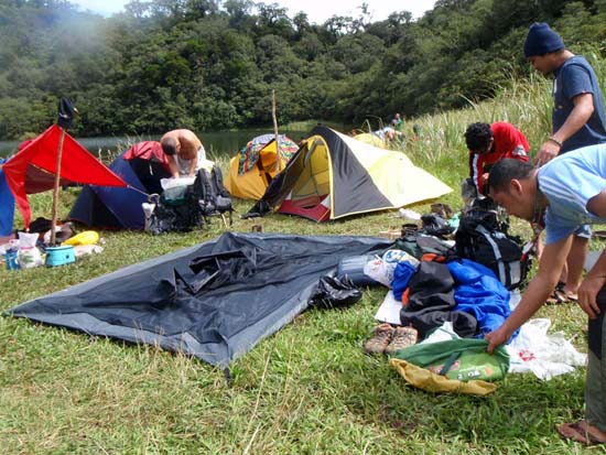
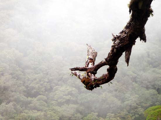
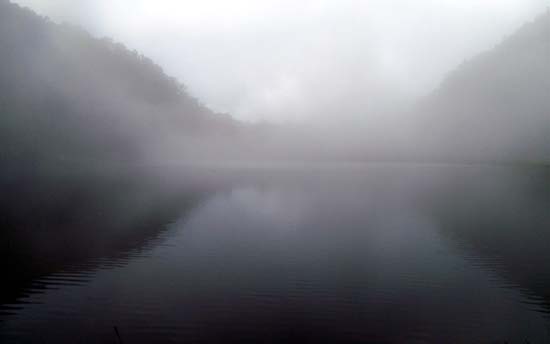
It was discouraging to hear that the summit offered no view except the Nailig Lake and part of Nabilog Lake. Since we didn't summit on my first climb, I joined the Cebu crew when they opted to reach the top. I'm glad I did. The top had a tree growing sideways providing an overhang to a dead-drop below. But it also offered a view of Lake Nailig...and yes, what a view! It was fantastic. Looking down below, I saw a sprinking of multi-colored dots just by the side of the lake - I was looking at our campsite! On the very top of the peak was one big and dominating tree that was climb-friendly. We all climbed making our ascent higher than the height of Mt. Talinis...totally cool!
If You Can Only Read My Thoughts
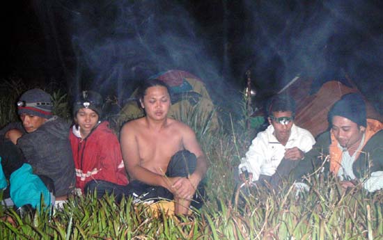
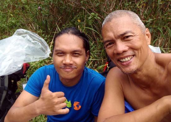
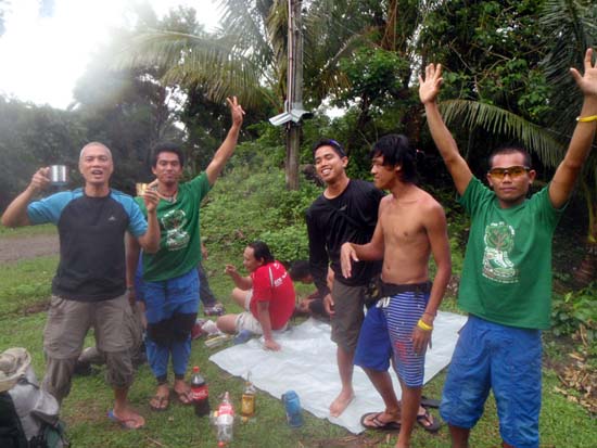
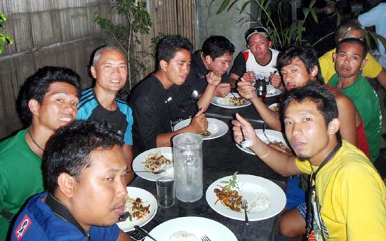
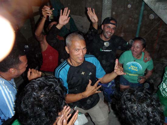
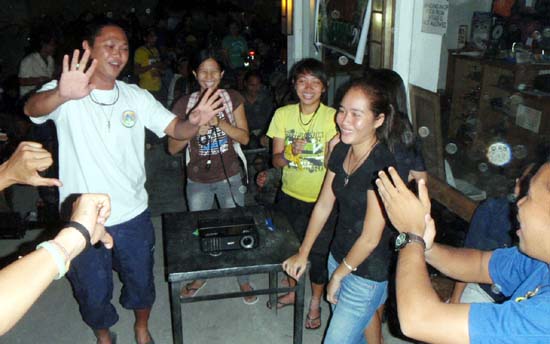
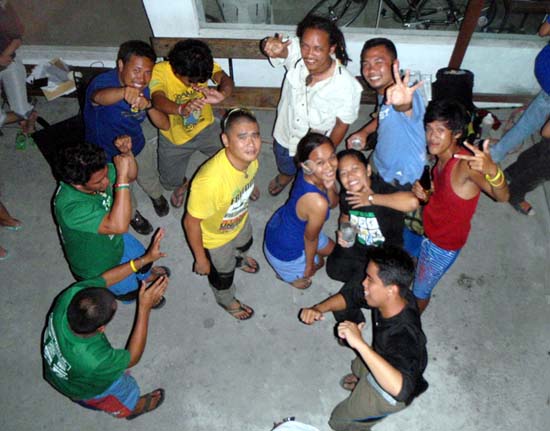
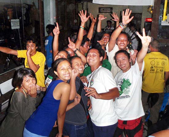
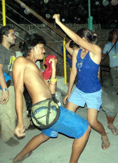
It's ironic that after the climb and during the socials, given the bonding we've had up in the mountains, the initial barriers were no longer there. We were more candid, more spontaneous and they felt freer to compliment me with encouraging words like, "If I ever reach your age po (ouch!), I would like to still do the things you do now." I would self-deprecatingly smile but in my thoughts, I wanted to tell them, "if you only knew the struggle that was going through in my mind while being up there."
Ending Thoughts
Climbing still fills me with trepidation. But now I'm beginning to understand why. With mountain biking, I look forward to exhilaration. With scuba diving, being new to it, I am awed by new discoveries. Roller blading, no matter how retro, is pure fun. And yoga gives me a quieting sense of center. But mountain climbing? Given the load on my back that I have to take a few hundred meters higher on terrain that could be unforgiving, my knee screaming with revolt, and the spectre of failing the team, I come to terms with my ego, and to a larger extent, my vulnerability. I'm reminded just how insignificant my presence is, in this unyielding landscape. I could feel my fragile mortality in the balance. The self-doubt is ever present. The struggle wasn't only with my body - it was pure mental as well trying to remain positive with my self-talk. It's an exercise in humility and introspection. If I ever used my charm or chutzpah in the default world to get things my way, I knew those qualities are worthless currencies on the slope - the mountain accepts or rejects me in its own terms, unconditionally.
With that paradigm, I return to the city, cleansed of my ego, humbled in my demeanor, validated in having made it in one piece, and rich with new friends.
--- TheLoneRider
- backpack cover - prepare for things with ample time left. I tried buying a backpack cover too close to the climb date...there was none available...tough! I had to make do with an ill-fitting cover. When it rained, I paid dearly for it again in terms of a heavier wet backpack!
- making sure what's in the 'kit' is always replenished - I brought my toiletry-kit without inspecting what's inside...and then found out in camp there's not enough toilet paper left!
- making sure I bring fresh stuff - the rice I brought was still from my pack in Feb. It didn't taste fresh (that's also why I didn't offer anyone my rice)
- P500 registration
- commemorative t-shirt
- pre-climb dinner
- LNT (Leave No Trace) orientation
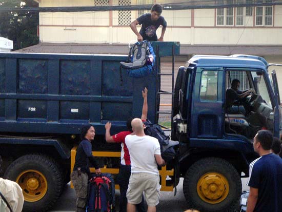
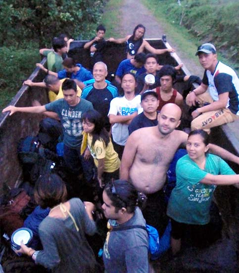
- transport to jump-off
- transport pick-up
- post climb dinner a
- climbing certificate
(according to the posted sign on the Apolong Route)
- Bediao Route - considered the easiest route taking 4 hours to the peak which includes passage through Narolon Peak (1800 MASL) and Lake Yagumyum
- Timbao Route - at 3 hours to the peak, this is the shortest and most difficult
- Bongbong Route - overlaps with the Timbao Route and considered to be one of the most difficult
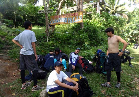
- Apolong Route - with the jump-off at Casaroro Falls, the Apolong Route is the 2nd longest, taking about 7 hours to the peak. Its difficulty level is moderately challenging. Its attractions are the Kaipuhan Sulphur vents and Lake Nailig.
- Lunga Route - the longest route at 10 to 12 hours passing through Dakong Sapa, Dakong Datag, Kaipuhan Sulphur, Camp Vendiola, Tutoy Dalaga and Lake Yagumyum
091611
»» next story: 7th Philippine Bird Festival
»» back to Mountaineering
»» back to Homepage
ARCHIVE:
2024 |
JAN |
FEB |
MAR |
APR |
MAY |
JUN |
JUL
1970 |
1973 |
1975 |
1976 |
1979 |
1981 |
1996 |
2000 |
2001 |
2002 |
2003 |
2004 |
2005 |
2006 |
2007 |
2008 |
2009 |
2010 |
2011 |
2012 |
2013 |
2014 |
2015 |
2016 |
2017 |
2018 |
2019 |
2020 |
2021 |
2022 |
2023 |
2024 |
ALL BLOGS
|
 |
 |


|
 Sep 16-18, 2011

